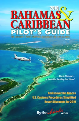
 There are more small airports per square mile of land mass in the Bahamas and Caribbean than any other region in the world, and they’re all in the new 2010 Bahamas & Caribbean Pilot’s Guide.
After 32 years in print, the Bahamas & Caribbean Pilot’s Guide is a single-source reference for island travel. This is the 14th edition for John and Betty Obradovich, who note the guide includes color aerial photographs of every airport in the Bahamas and the Caribbean, as well as accommodations and recreational information.
The 400-page spiral-bound Pilot’s Guide is organized into tabbed sections: the Bahamas, Turks & Caicos, Hispaniola/Cuba (Dominican Republic, Haiti), Western Caribbean (Cayman Islands, Jamaica, Yucatan, Belize, Roatan), Puerto Rico/Virgin Islands, Eastern Caribbean (Anguilla south to Aruba, Bonaire and Curacao), United States (Florida airports with Customs) and Survival. Within each section there is travel information on the islands and the country, accommodation and car rental listings, pilot info, maps and airport information. Included are frequencies, runway details, hours, fuel availability, GPS designators as well as longitudes and latitudes — a necessity to find some of the small airports that won’t be in your GPS database. The general information section covers customs, flight plans, forms, procedures, and required equipment in great detail.
The Pilot’s Guide is available for $56.95 from Pilot Publishing, Inc. The guide also can be purchased through Sporty’s, Hangar63 at Ft. Lauderdale Executive Airport, Volo Aviation at Fort Pierce Airport, and at more than 90 other pilot shops and FBOs
For more information: 800-521-2120 or FlyTheIslands.com.
