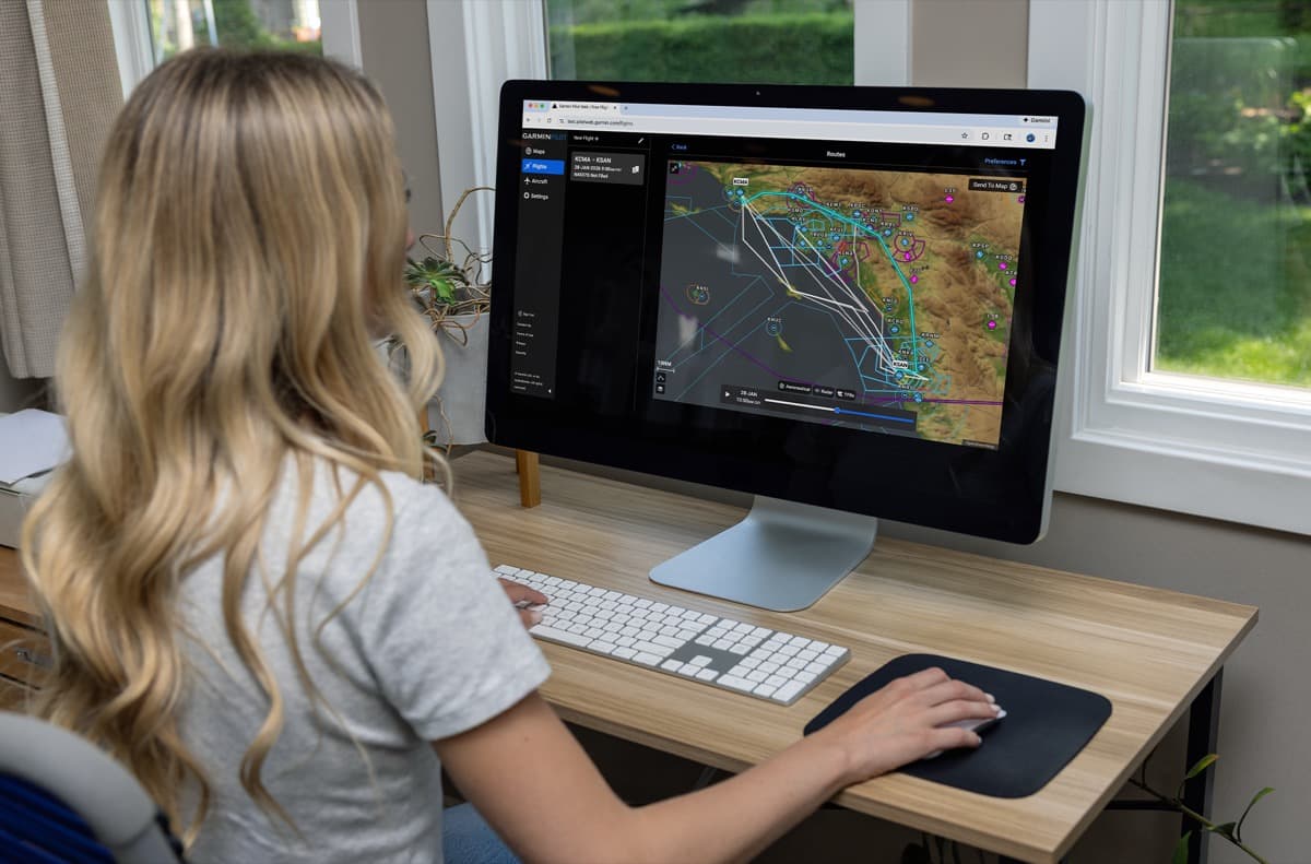
New tools and enhancements have been added to Garmin Pilot Web, including new routing tools and a new Routes user interface that allows pilots to compare, sort, and select a route to their destination.
Additionally, a new graphical editing feature allows users to drag and drop their route where they want on the map.
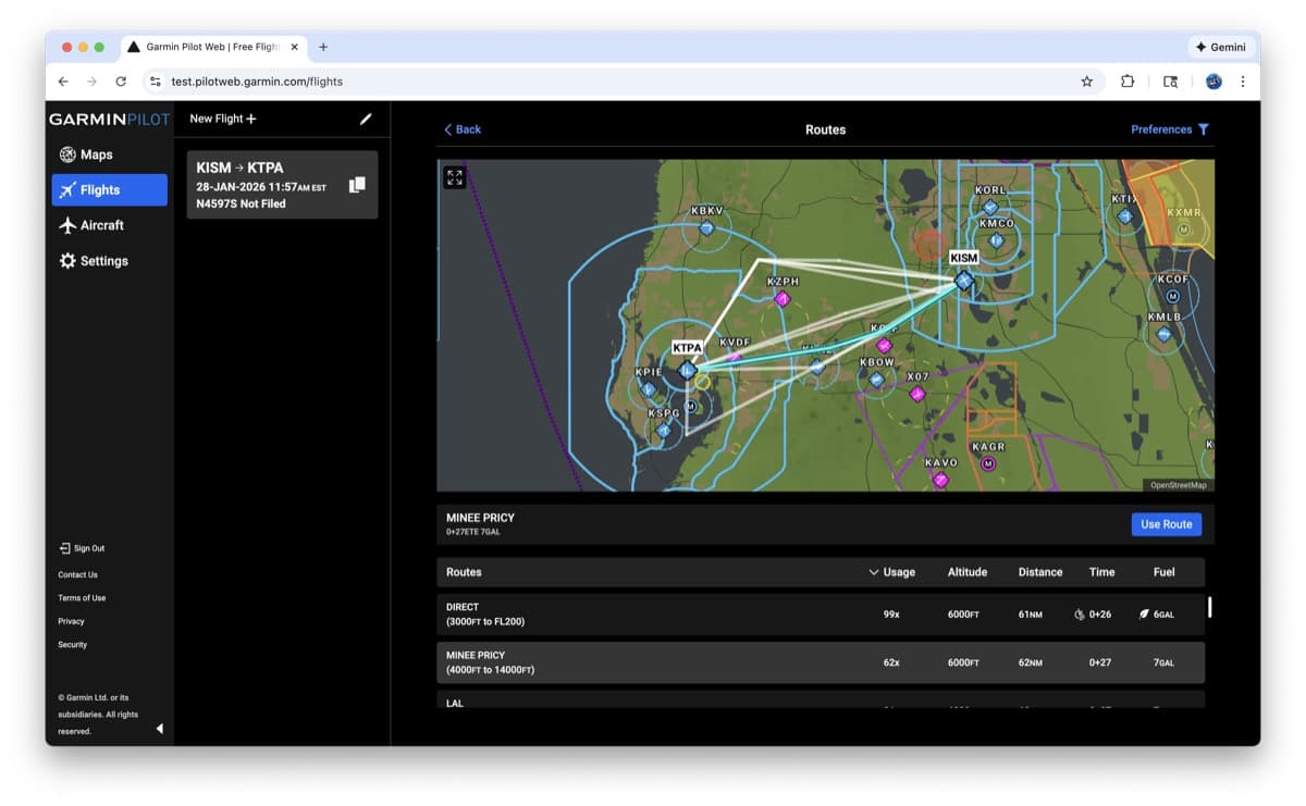
New Route Display
This update introduces a new user interface, allowing users to compare routing options more easily and select the best one for their needs, according to company officials.
Company officials note that:
- Users can now hover over routes, which highlights them on an incorporated map, to compare options.
- Users can sort these route options by altitude, distance, time or fuel used.
- This new interface simplifies selecting a route by showing optimum routes.
- Garmin Pilot Web will also now look at the aircraft type being used on the route and filter routes by altitude (e.g. it looks at the aircraft maximum altitude). Users can override this function if needed.
- A new preferences modal is available for Garmin Pilot Premium subscribers, where they can set route types or set preferred routing by altitudes. They can also select routes they don’t want to use, like no TEC routes or CDRs.
- The new interface also calls out and shows limitations of certain routing, such as those based on aircraft type, speeds, or landing direction.
Graphical Editing on Web
A highly requested feature, users will now be able to drag and drop their route line around on the map to draw their route, Garmin officials said.
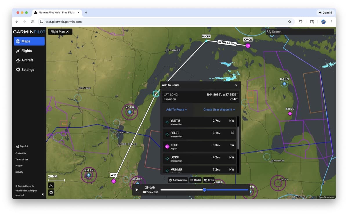
When the pilot drags and drops the route line on the map, a new pop-up menu will appear to let them select the closest waypoint or airport, or the latitude/longitude the route was dropped on.
These features are now live at PilotWeb.Garmin.com.
Leave a Reply