SALT LAKE CITY, Utah — Xega, a new flight planning platform, has opened its Founders Beta testing, which is limited to 100 pilots. Active beta testers who use the platform and contribute feedback earn free lifetime access when Xega launches publicly.
“Pilots need tools that actually keep them safe — not just pretty maps,” said founder Cory Robin. “3-meter terrain analysis, satellite reconnaissance with a real GO/NO-GO verdict, weather you can actually read, and an aeromedical guide that helps instead of scares. That’s what Xega is.”
Xega Eyes, the platform’s signature feature, delivers a situational awareness briefing for any airport or landing zone. It fuses satellite imagery with live METAR/TAF weather data to analyze terrain and topology, assess approach paths and departure corridors, detect runway surface conditions (wet, frozen, snow-covered), decode NOTAMs in plain English, calculate crosswind components per runway end, and render a terrain profile with 3° glide slope reference, according to company officials.
Every briefing returns a GO, CAUTION, or NO-GO verdict with cited data sources.
The system also checks TFR proximity, fire and smoke detection via NASA FIRMS, icing risk, land ownership restrictions, and nearby emergency services. Pilots can listen to the full briefing via text-to-speech or print a one-page kneeboard card for the cockpit.
The flight planner uses a proprietary Wavefront-Deviation (WFD) routing algorithm to calculate terrain-safe routes at 3-meter resolution, company officials noted.
Pilots flying mountain passes, canyon routes, or backcountry strips get altitude recommendations based on actual elevation profiles with obstacle clearance. Aircraft performance data factors in density altitude, surface type, and loading to determine whether a strip is suitable for your specific aircraft.
The platform’s database includes more than 82,000 airports and airstrips — including backcountry strips — with a land ownership layer showing BLM, USFS, NPS, DOD, state, and private boundaries, color-coded with landing permission guidance, company officials said.
The AI Wingman accepts natural language queries — “Plan a flight from Salt Lake to Jackson Hole under 14,000 feet” — and returns terrain-safe routes with mountain pass clearances and one-tap EFB export to ForeFlight, officials added.
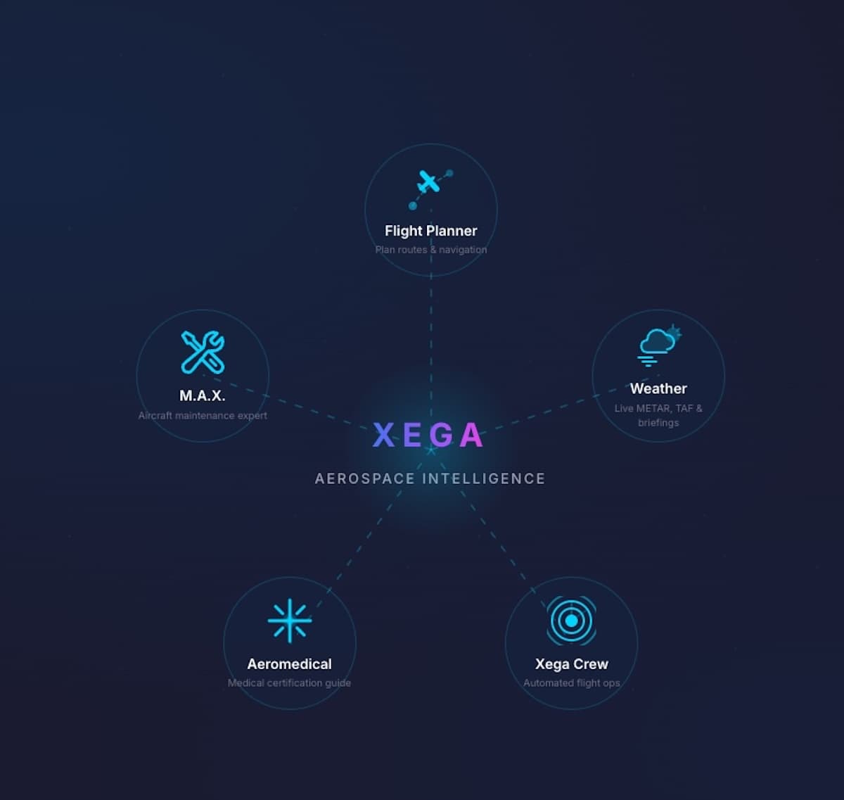
Xega combines six integrated tools in one platform:
- Flight Planner — WFD terrain-safe routing at 3-meter resolution, aircraft performance profiles, fuel stop optimization, dark-mode cockpit display, EFB export
- Xega Eyes — Full situational awareness briefing: Satellite imagery fused with live weather, terrain and topology analysis, approach hazard profiles, departure corridor assessment, surface condition detection, NOTAM decoding, GO/CAUTION/NO-GO verdict, TFR proximity, fire detection, icing risk, voice briefing, kneeboard export
- Weather — Real-time METAR/TAF from 4,500+ stations with seven visualization modes, 11 NASA satellite layers, NEXRAD radar, and VIIRS fire detection
- AI Agents — Automated monitoring of weather conditions, fuel, maintenance schedules, and medical certificate status 24/7
- M.A.X. — Maintenance and airworthiness tracking with FAA AD database, service difficulty reports, and inspection programs
- Aeromedical — Anonymous condition explorer, medication checker, AME directory, and Special Issuance tracking.
Company officials noted that an estimated 56% of U.S. pilots avoid seeking healthcare due to fear of losing their FAA medical certificate. Xega’s aeromedical module lets pilots research conditions, check medication compatibility, and find HIMS-qualified AMEs — anonymously, without triggering any FAA reporting.
Xega, which is available on iOS and the web, is priced at $9.99 a month ($99 a year) with a free tier. The company expects to announce a public release before the SUN ‘n FUN Aerospace Expo in April 2026, with Android launching in the third quarter of 2026.
For more information: TestWeb.Xega.ai
Leave a Reply