Adventure Pilot has released iFly EFB Version 14, an update to its electronic flight bag application designed to improve performance and situational awareness for pilots.
Now available across all supported platforms, including Android and Windows, the update introduces a more powerful graphics engine for smoother map rendering, according to company officials.
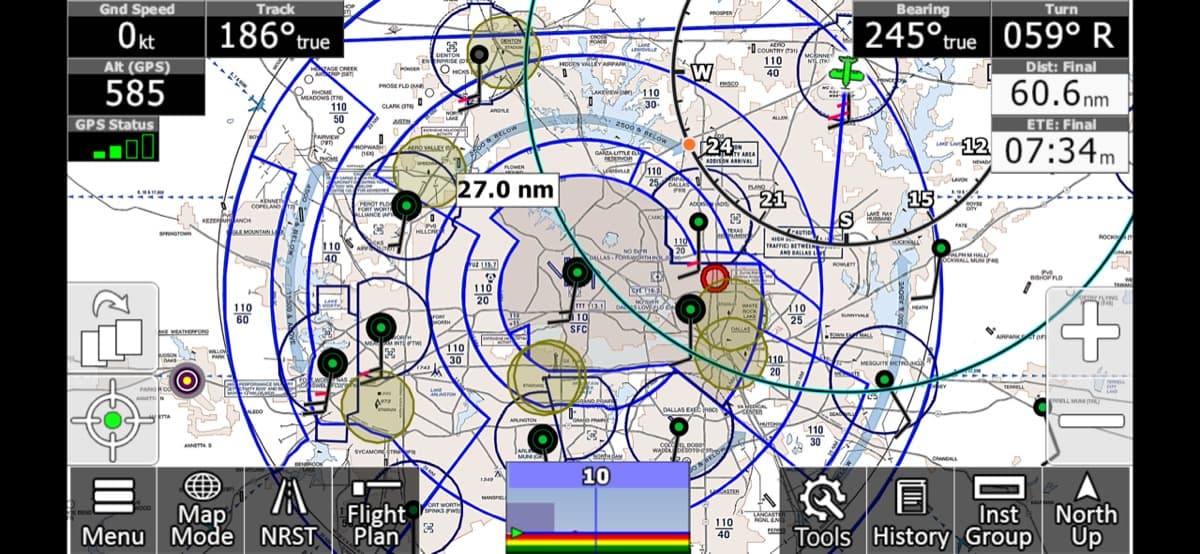
The most notable addition in the latest release is the new Satellite Imagery map layer, which offers pilots a real-world view of terrain and ground features. High-resolution imagery can be toggled as a map layer during planning or route reviews, providing a different perspective than traditional charts, company officials explain.
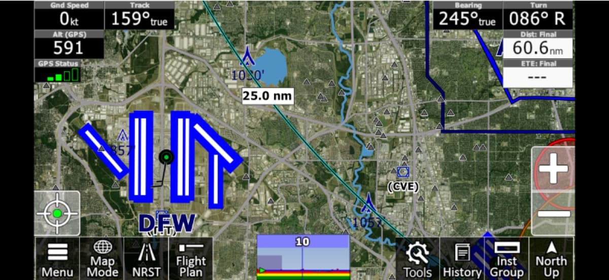
To support the rollout, low-resolution imagery is free for all users, while a limited amount of high-resolution tiles are provided monthly, with unlimited access upgrades available for those requiring expanded coverage.
Enhancements in Version 14 include:
- Audio Callouts: New audio alerts for all warning types to improve cockpit awareness.
- Flyway Charts: Added navigation insights for complex airspace.
- Redesigned Flight Planning: An updated interface to streamline the pre-flight workflow.
While Version 14 is rolling out now, Adventure Pilot notes that it may take up to one week to appear in all app stores. Users can verify their current version by navigating to the About section within the app menu.
For more information: iFlyEFB.com
Leave a Reply