

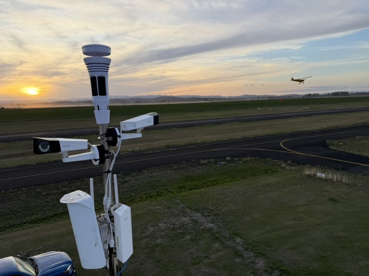
AviationWX.org has expanded its open-source weather and camera network to 68 airports across North America, deploying 138 live webcams and 78 automated weather stations to support pilots operating at rural and unmonitored airfields.
The not-for-profit public initiative, designed to provide supplemental weather data and enhance aeronautical decision-making, recently partnered with the State of Idaho to absorb the state’s Eye-n-Sky backcountry network. The platform has also expanded internationally with its first airfield installation in Canada.
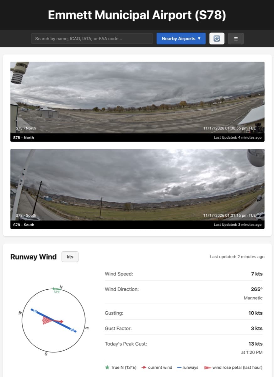
“Rather than replacing official aviation weather, we provide free, supplementary live webcams and validated hyper-local telemetry so pilots can cross-check forecasts before launching,” said Alex Witherspoon, founder of AviationWX.org.
According to organization officials, deliberate systems engineering has reduced hardware costs to $1,000 per site for powered airports and under $3,000 for off-grid backcountry strips, such as Hoodoo Meadows Airport (4D2) in Idaho, which utilizes solar power and satellite internet connectivity.
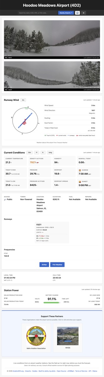
The system gathers, validates, and processes telemetry from off-the-shelf sensors and cameras, applying automated fail-closed guardrails to prevent erroneous readings and deliver reliable situational awareness for general aviation, medevac, and aerial firefighting operations, according to Witherspoon.
For more information: AviationWX.org
Leave a Reply