

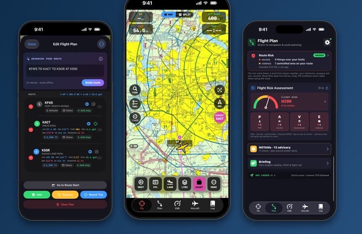
VFRview has released an offline-first iPhone application built specifically for visual flight rules (VFR) pilots flying in the continental United States.
According to company officials, the electronic flight bag allows pilots to download route-specific sectional charts in smaller file sizes rather than full regional databases. A built-in national terrain map ensures underlying charts and airport calculations remain functional in airplane mode without displaying blank screens.
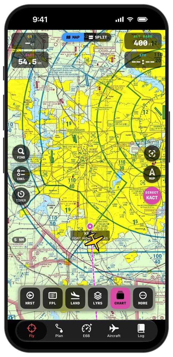
The application converts raw data from the National Oceanic and Atmospheric Administration (NOAA) and the National Weather Service into plain-English summaries alongside NOTAMs and temporary flight restrictions from the FAA, company officials explain. It also integrates the complete text of the FAA Aviation Weather Handbook offline, providing contextual explanations when flight routes encounter hazards such as turbulence, icing, or low ceilings.
Additional features include a color-coded flight risk score evaluated against pilot minimums and the FAA PAVE checklist, visual checkpoint suggestions, automated Common Traffic Advisory Frequency pattern prompts, and an engine-out glide advisor.
“Most flight bags are built to do everything for everyone. I built VFRview for the flying most of us actually do: VFR, in the lower 48,” said Paul Bristow, founder of VFRview. “The goal is a pilot who looks outside more, understands the weather better, and makes a good decision before the engine starts.”
For more information: VFRview.com
Leave a Reply