
Stuart Bain submitted this photo and note: “Biplanes from the Bayport Aerodrome (23N) in New York did a flight around the Statue of Liberty in the summer of 2025. Three Stearmans and one N3N were in the formation.”
Dinner And A Movement

By committing themselves to a mission that has legs, EAA Chapter 1240 hasn’t just embarked on a plan that makes them feel good about themselves. They’re expanding their reach in the community, gaining new members, and helping to put young people on a path to a bigger, more enriching life than this rural community might have offered otherwise.
Where’s Jamail? Kicking off the 2026 DreamLaunch Tour

From youngsters experiencing their first flight to college students winning scholarships from unexpected places, the Dreamlaunch Tour kick off had something for everyone.
Oshkosh 2026 to Feature Public Benefit Flying

In 2025, more than 1,500 pilots registered at Oshkosh to become part of public benefit flying, whether that is bringing relief supplies to disaster-stricken areas, flying cancer patients to their appointments, or even moving rescue animals across the country.
Tennessee Flight Training Opens New Memphis Location
Tennessee Flight Training has opened a new location at Millington-Memphis Airport (KNQA).
Pilot Seriously Injured When Hit by Prop

Probable Cause: The pilot’s failure to disengage the ignition prior to moving the propeller by hand resulting in the inadvertent starting of the engine.
Picture of the Day: Wingtip Over The Navy Pier In Chicago

Scott Crane submitted this photo and note: “Our polished Bonanza, a 1948 Model 35, over Lakeshore Drive and the Navy Pier in downtown Chicago, with the lights of the city reflecting off of the upper wingtip. Photo by Zac Martin.”
Replace How Many Radars?
The new contract calls for replacing 612 radars by June 2028.
Be Smart When Flying With a Smartwatch
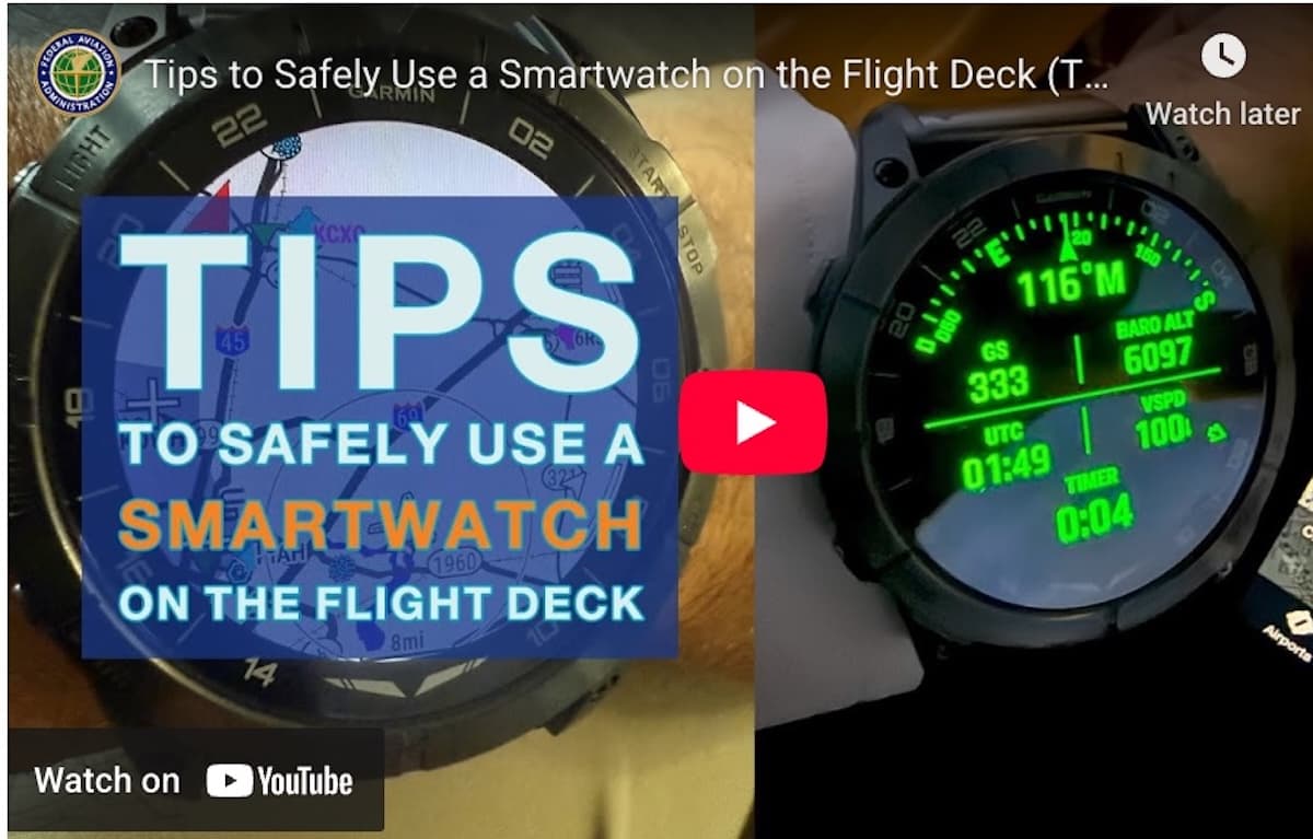
A video from the FAA’s Rotorcraft Collective delves into how a smartwatch can help you when you’re flying, from monitoring hypoxia symptoms to emergency navigation tools, helping you find the nearest airports, complete with maps, NEXRAD, current weather, and radio frequencies.