

Swiss pilot Darius Madjdpour has launched BriefingPal, a free web-based application designed to streamline VFR preflight preparation into a single automated workflow.
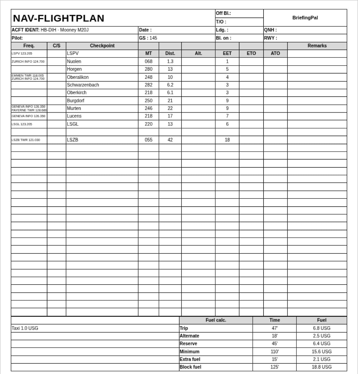
The platform consolidates weight and balance data, takeoff and landing distances, routing, weather, and NOTAMs by referencing performance charts from the Pilot’s Operating Handbooks (POH) and Aircraft Flight Manuals (AFM) of more than 100 aircraft types. Supported models include aircraft from Cessna, Piper, Diamond, Cirrus, Mooney, Tecnam, and Pilatus, according to company officials.
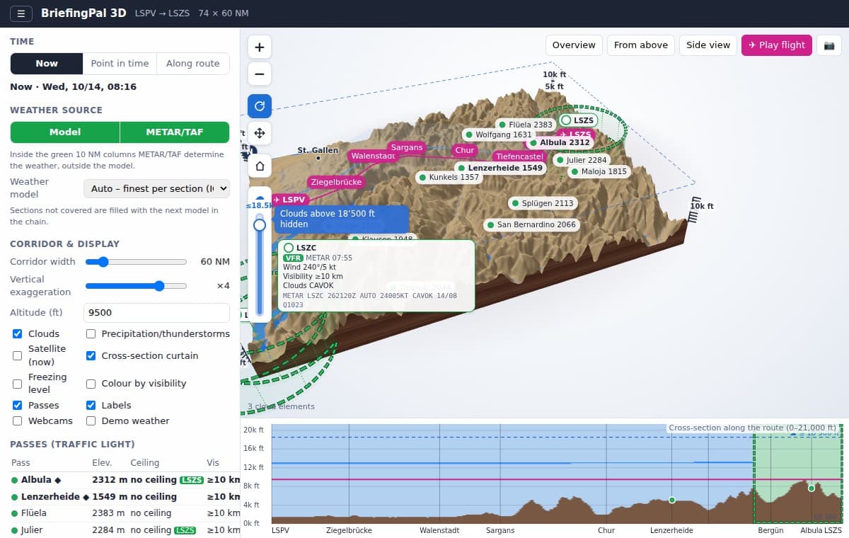
BriefingPal computes weight and balance against center-of-gravity envelopes for takeoff and landing, factoring in pressure altitude, temperature, wind, runway slope, and surface type against published Takeoff Run Available (TORA) and Landing Distance Available (LDA) figures. Additional features include 3D route visualization with terrain and airspace profiles, model weather forecasts, and GPX export compatibility with ForeFlight, Garmin Pilot, and SkyDemon.
“I wanted the preparation I do before every flight in one place and in a few minutes — with the real numbers from the handbook instead of rules of thumb,” said Madjdpour. “On hot days and at high-elevation airports the takeoff distance is a safety question. Every pilot should be able to work it out simply and for free.”
The service also provides standalone calculators for density altitude, crosswind components, fuel unit conversions, and plain-language METAR and TAF reports, with options for flight schools and clubs to input custom fleet weighing reports.
For more information: BriefingPal.com
Leave a Reply