
Garmin has integrated SmartCharts into Garmin Pilot Web, offering pilots information tailored to their flights.
Garmin
ALSIM Introduces its First FTD Level 6 Simulator

US Aviation Academy has ordered five of the ALSIM P2006T MKII simulators, which replicate the Tecnam P2006T MKII twin-engine aircraft, according to ALSIM officials.
Garmin Unveils Aviator Smartwatch With Satellite Connectivity

Garmin has introduced the D2 Mach 2 Pro, an aviator smartwatch equipped with inReach technology for two-way satellite and cellular connectivity between flights — giving aviators access to text messaging, voice calling, SOS capabilities, and more without a cell phone connection.
Comments and Reviews Added to Garmin Pilot

The new feature allows pilots to share local knowledge about an airport, from runway configurations to courtesy cars and restaurants.
Garmin Expands to KIWA

The new facility at Arizona’s Mesa Gateway Airport will be used for aircraft certification and flight testing.
Garmin Height Advisor Approved for Certified Aircraft
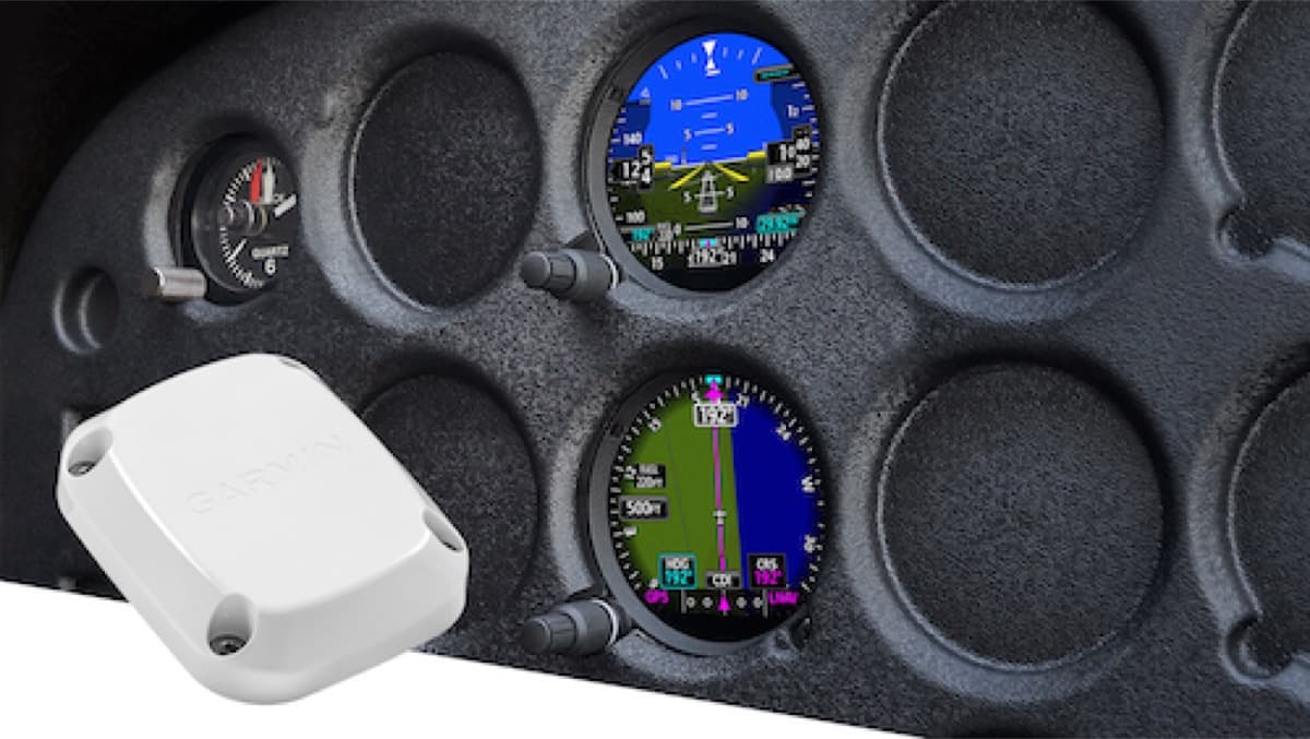
Previously approved only for experimental aircraft, the FAA has granted Supplemental Type Certificate (STC) approval for the installation of the GHA 15 in more than 500 certified Class I and II aircraft.
New Tools Added to Garmin Pilot Web

New routing tools join a new graphical editing feature to make flight planning easier for pilots.
King Air lands itself at KBJC

The pilots lost communication with air traffic control, but the Garmin Autoland system automatically engaged “exactly as designed” when the cabin altitude exceeded safe levels.
Garmin SmartCharts adds Graphical NOTAMs overlay to alert pilots of surface closures
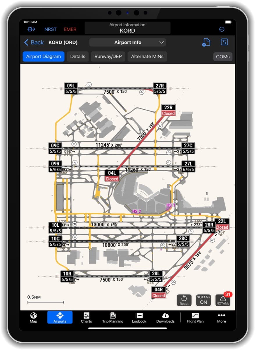
The new Graphical NOTAMs overlay, when selected “On,” will depict active runway, taxiway, and ramp closures, as well as conditional closures. Additionally, current field condition (FICON) codes will appear on the runway label, allowing pilots to see the runway conditions while viewing the airport diagram.